 NERC Data Catalogue Service
Map as PDF supplied on CD (on request)
Type of resources
Topics
Keywords
Contact for the resource
Provided by
Years
Formats
Representation types
Update frequencies
Scale
-
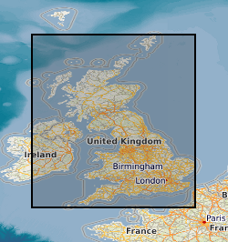
Coal resource maps for the whole of the UK have been produced by the British Geological Survey as a result of joint work with Department of Trade and Industry and the Coal Authority. The Coal Resources Map is a Map of Britain depicting the spatial extent of the principal coal resources. The map shows the areas where coal and lignite are present at the surface and also where coal is buried at depth beneath younger rocks. The maps are intended to be used for resource development, energy policy, strategic planning, land-use planning, the indication of hazard in mined areas, environment assessment and as a teaching aid. In addition to a general map of coal resources for Britain data also exists for the six inset maps: Scotland; North-East; North-West; East Pennines; Lancashire, North Wales and the West Midlands; South Wales, Forest of Dean and Bristol. Available as a paper map, flat or folded, from BGS Sales or as a pdf on a CD if requested.